Find out more about satellite imagery, what it can tell us, the challenges of getting the images as well as how it can help farmers with on-farm decisions.
Follow-up activities can be found in the Farming Fortnight 2023 resources for #TechyTuesday
Agri-tech - Satellite Imagery

This resource is produced by
Tags
- Living with the Physical Environment (AQA GCSE)
- Geography Skills (AQA GCSE)
- Physical Geography (AQA A Level)
- Geography Fieldwork Investigation (AQA A Level)
- Physical Geography (AQA A Level)
- People and the Environment (AQA A Level)
- Geography Fieldwork Investigation (AQA A Level)
- The Physical Environment (Pearson Edexcel GCSE)
- Geographical Investigations: Fieldwork and UK Challenges (Pearson Edexcel GCSE)
- Future of Food (OCR A Level)
- Future of Food (OCR A Level)
- Landscapes and physical processes (WJEC GCSE)
Related Resources

#TechyTuesday2024
Positively engage your pupils in discussions and activities that focus on British farming and food production.
Read more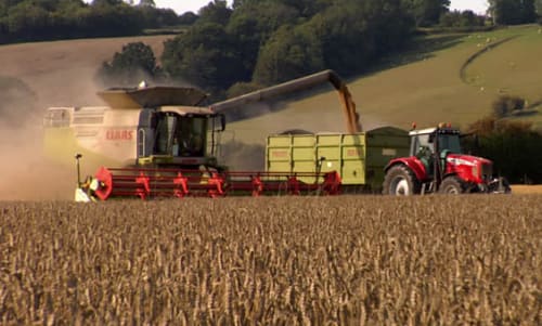
Wheat farm machinery
A simple PowerPoint presentation with photos and basic explanation of the farm machinery used in the process of growing and harvesting wheat.
Read moreRelated Articles
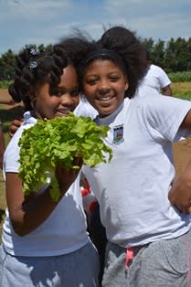
Celebrate harvest
What's harvest all about? Use resources on Countryside Classroom to investigate and celebrate this special time of year.
Read moreContact Us
Some of our partners


Countryside Classroom
c/o LEAF Education
Linking Environment And Farming
Stoneleigh Park
Warwickshire, CV8 2LG
Email: [email protected]
Telephone: 02476413911
Terms and Conditions
Privacy Policy
Copyright Linking Environment And Farming 2025
Registered Charity Number 1045781

